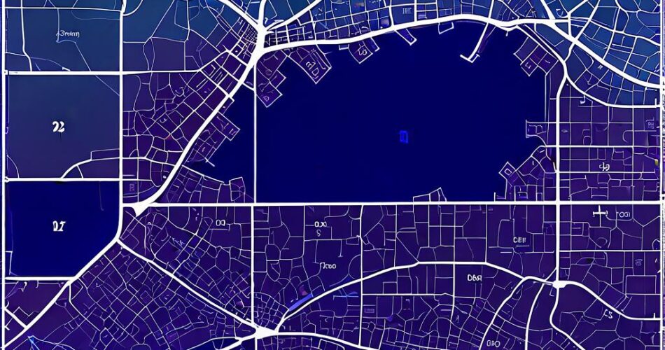
Interactive floor plans are becoming increasingly popular, offering users a dynamic and engaging way to navigate and explore spaces. From office layouts to museum exhibits, these maps can provide valuable information and enhance the user experience. This article will guide you through the process of creating a basic interactive floor map using D3.js and TopoJSON.
Understanding the Tools
* D3.js (Data-Driven Documents): A powerful JavaScript library for manipulating documents based on data. D3 excels in creating interactive visualizations, including maps.
* TopoJSON: A compact JSON format for representing geographical data. It stores topology information, allowing for efficient representation of geometries and relationships between them.
The Workflow
1. Preparing Your Floor Plan:
– Obtain a vector file of your floor plan (e.g., SVG, DXF).
– Convert it to TopoJSON format using tools like TopoJSON.js or QGIS.
– The resulting TopoJSON file will contain the geometry of your floor plan, defining rooms, corridors, and other features.
2. Setting up the HTML Structure:
– Create a basic HTML page with a `
– Include the necessary D3.js and TopoJSON libraries in the `` section.
3. Loading and Parsing the Data:
– Use D3’s `d3.json` function to load your TopoJSON file.
– Parse the TopoJSON data using `topojson.feature` to extract the desired features (e.g., rooms).
4. Creating the Map Container:
– Use D3’s `d3.select` to target the `
– Define the dimensions of the SVG container based on your floor plan’s size.
5. Rendering the Floor Plan:
– Use D3’s `d3.geoPath` to create a path generator for drawing the features from your TopoJSON data.
– Use the path generator to draw the floor plan features on the SVG container.
6. Adding Interactivity:
– Use D3’s event listeners (e.g., `mouseover`, `mouseout`, `click`) to trigger actions when users interact with the map.
– For example, on mouseover, you can highlight the hovered room by changing its color or adding a tooltip with relevant information.
– On click, you can zoom in on a specific room or navigate to a linked webpage.
Code Example (Simplified):
“`html
“`
Conclusion
Combining D3.js and TopoJSON provides a powerful framework for creating interactive floor maps. By following the steps outlined in this article, you can easily bring your floor plan to life, enhancing user engagement and providing valuable insights. Remember to customize the map with relevant information, styling, and interactivity to suit your specific needs. With a little effort, you can create a visually appealing and functional interactive floor map that will impress your users.
